


Day tripping to southern Utah for a quick arch hunt is fine for many areas but sometimes it takes a day or two to get into areas that we would like to explore. So when the first week in May promised to be fine weather, David and I took some time off of work to spend a few days further south than usual.
After work on May 1st, we headed south on the I-15 freeway to Cove Fort and then east on I-70 to Fremont and south to Marysville, passing the Big Rock Candy Mountain on the way.

Marysville, Utah

Then to Junction, Utah where I noticed they were doing some renovation work on the historic county building there.

Then Circleville, Utah.


We stayed overnight at a little motel in Panquitch where the heat did not work.
The next morning we headed east to Henriville and then south on the paved and then dirt Cottonwood Canyon road to the trailhead for Hackberry Canyon.
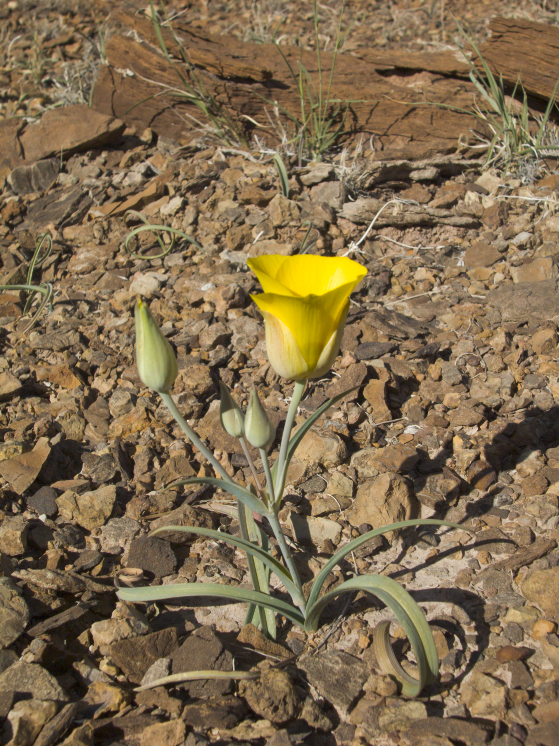
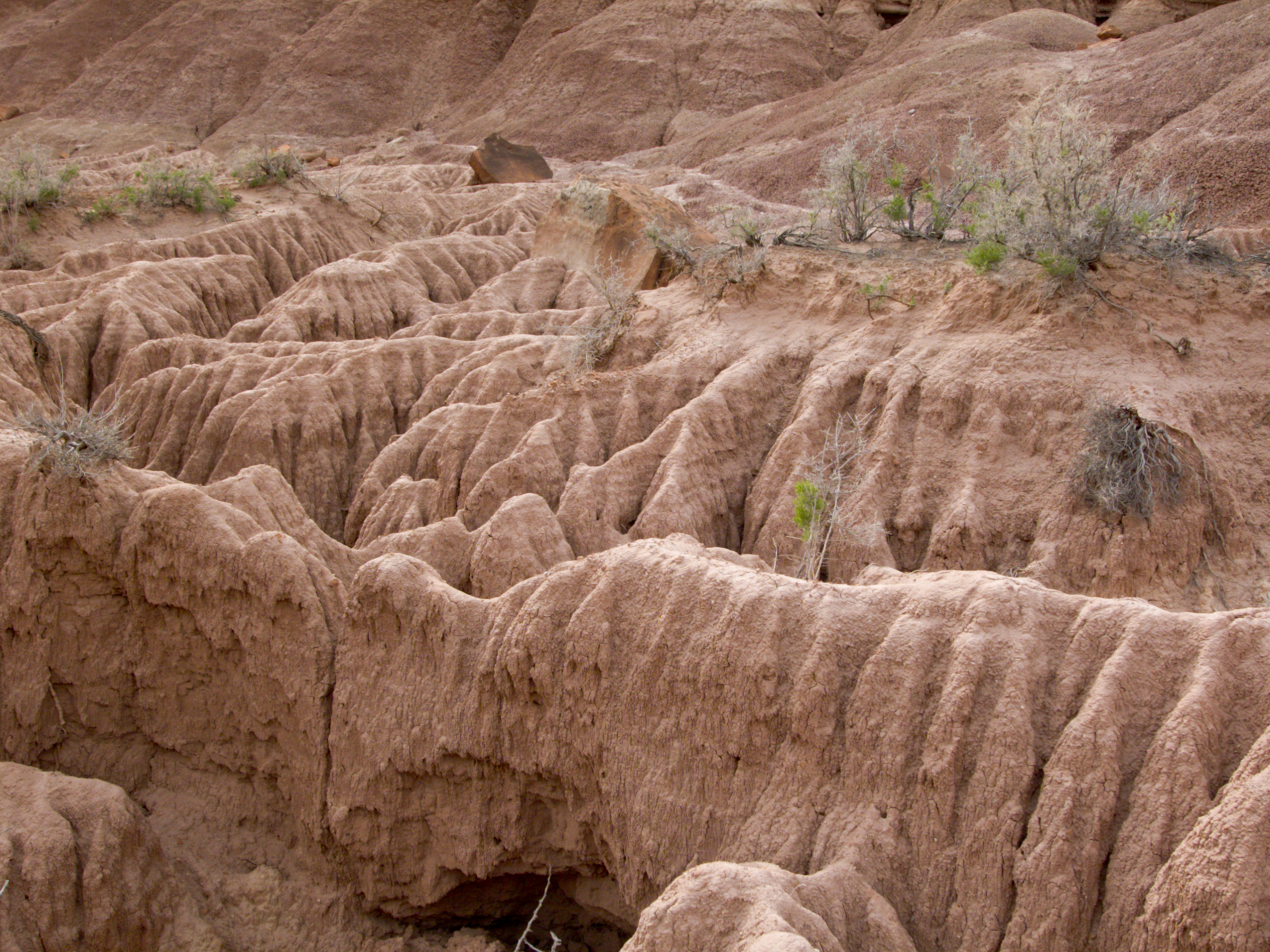
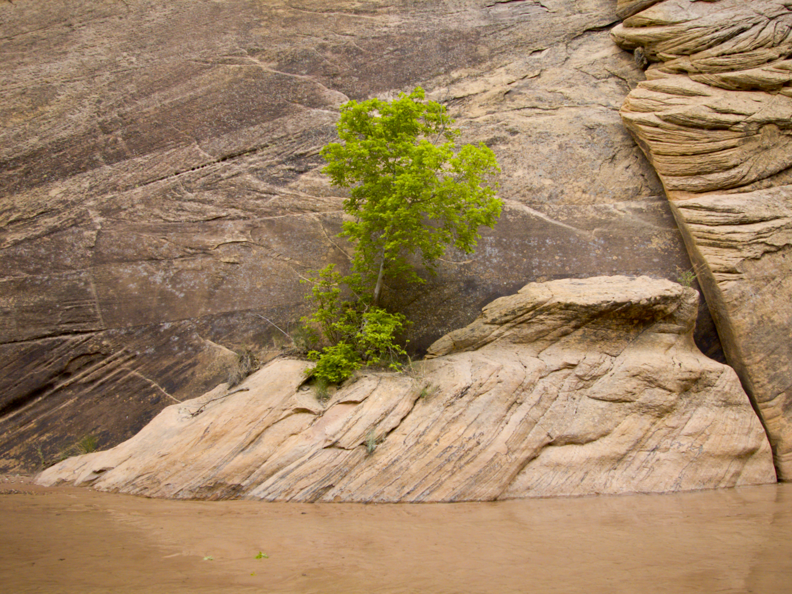
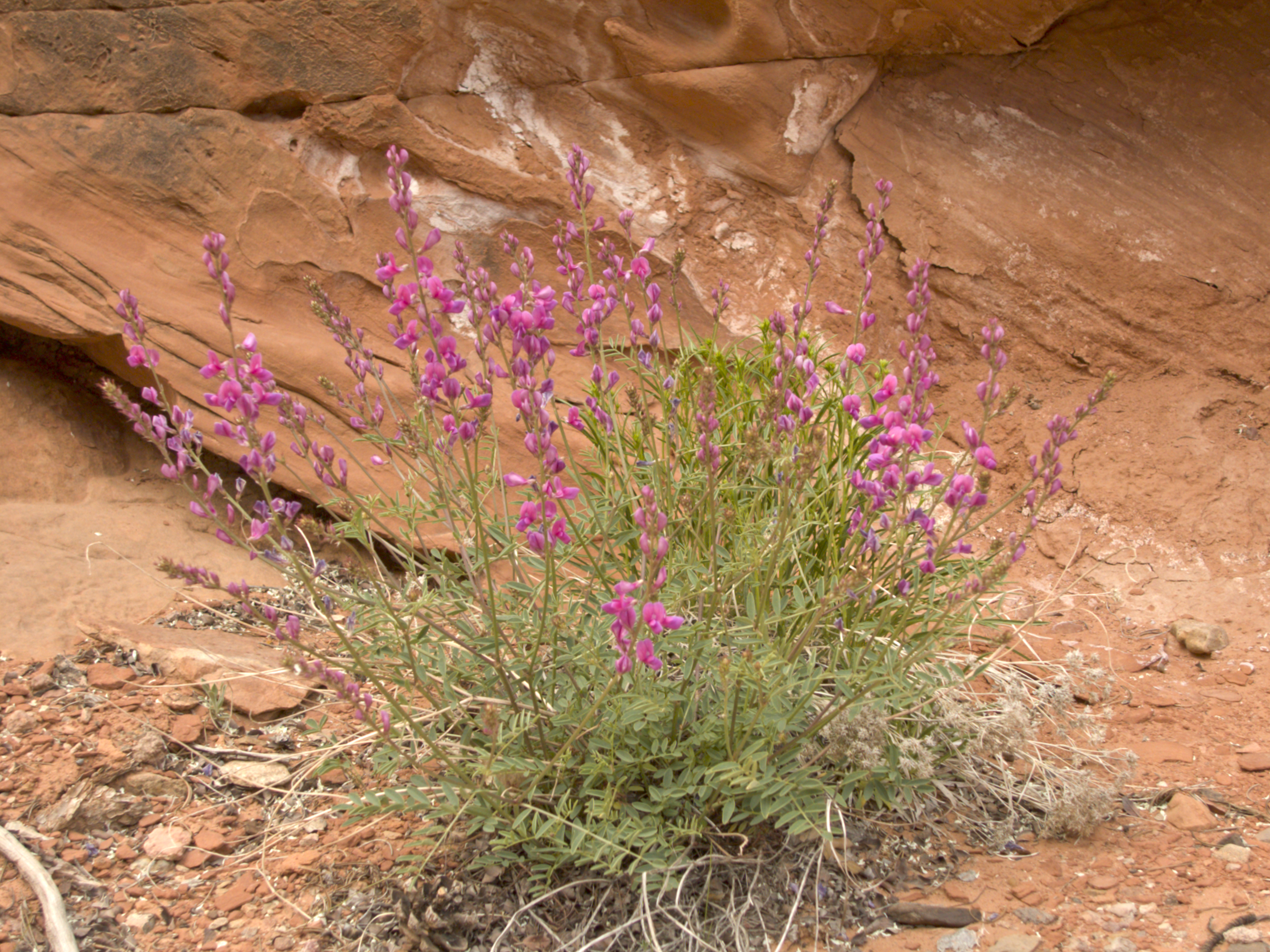
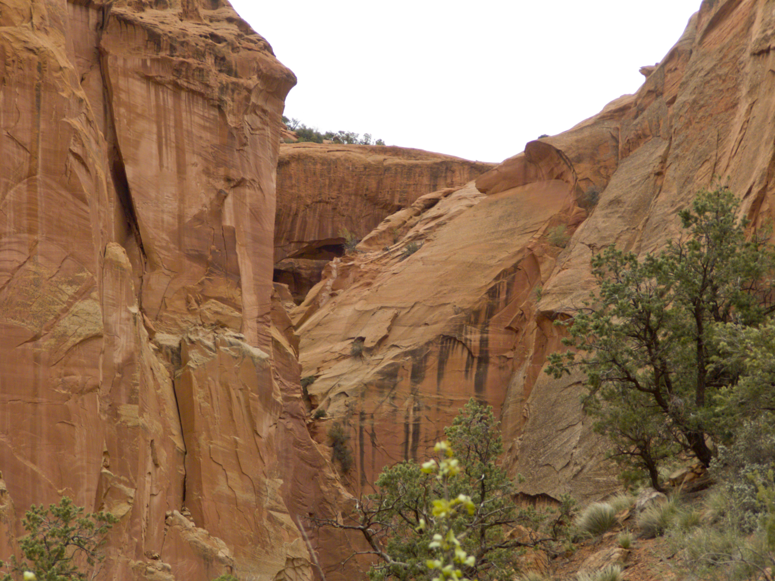
It was a beautiful sunny Spring day as David and I headed east and then north up Hackberry Canyon on our way to Sam Pollock Arch. It was a wonderful hike along a little stream at the bottom of a deep canyon. The scenery was spectacular and wildflowers popped up all over.


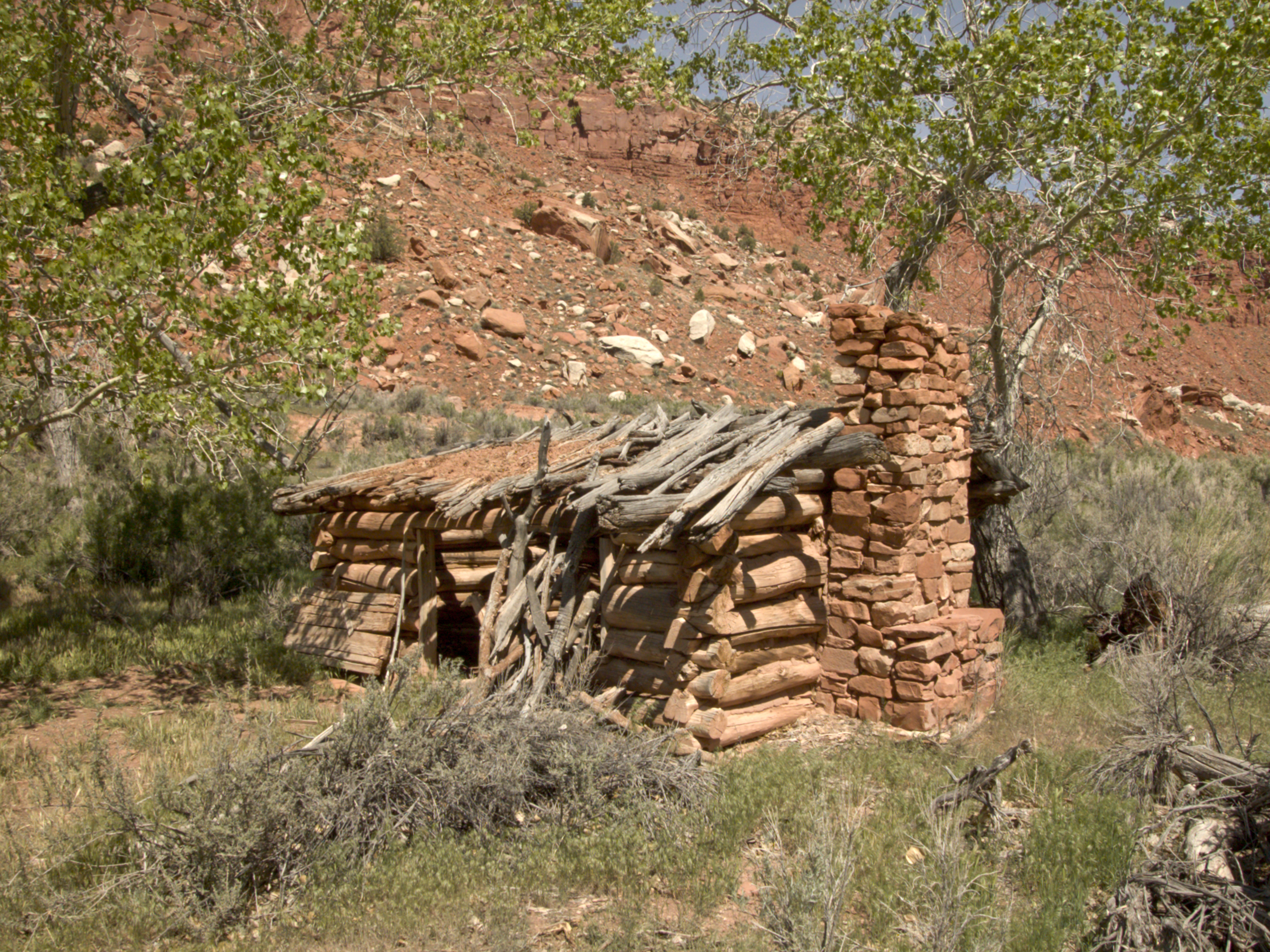
Along the way, we passed the remains of the Watson cabin. (They were certainly living in Heaven.)
We also passed at least one slithering friend.

It was suppose to be a 12.8 mile round-trip hike but we became so mesmerized by the hike that we walked right past the side canyon that held Sam Pollock Arch. Over a mile later we decided to check the GPS and discovered our mistake. It was tempting just to keep going.
Backtracking to the mouth of the side canyon, we headed west and discovered the next half mile or so was bushwacking and climbing over huge boulders. This was exhausting!
There was also one rather tricky section where a ladder would have been handy. Instead, we edged along a narrow rock shelf using our fully extended metal hiking poles to push against the opposite cliff wall. (Our hiking poles extend to about nine feet.) Pretty sketchy though.
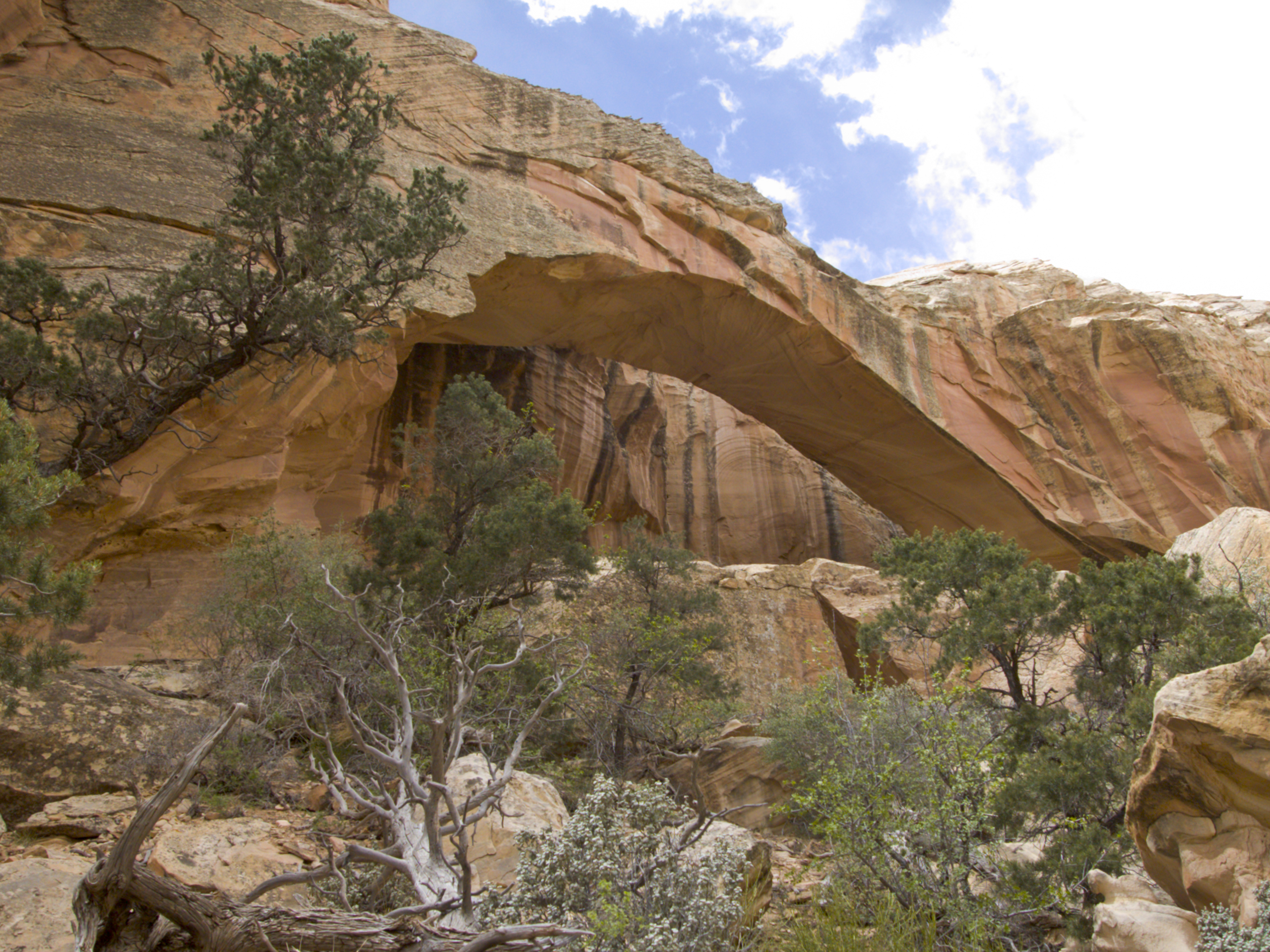
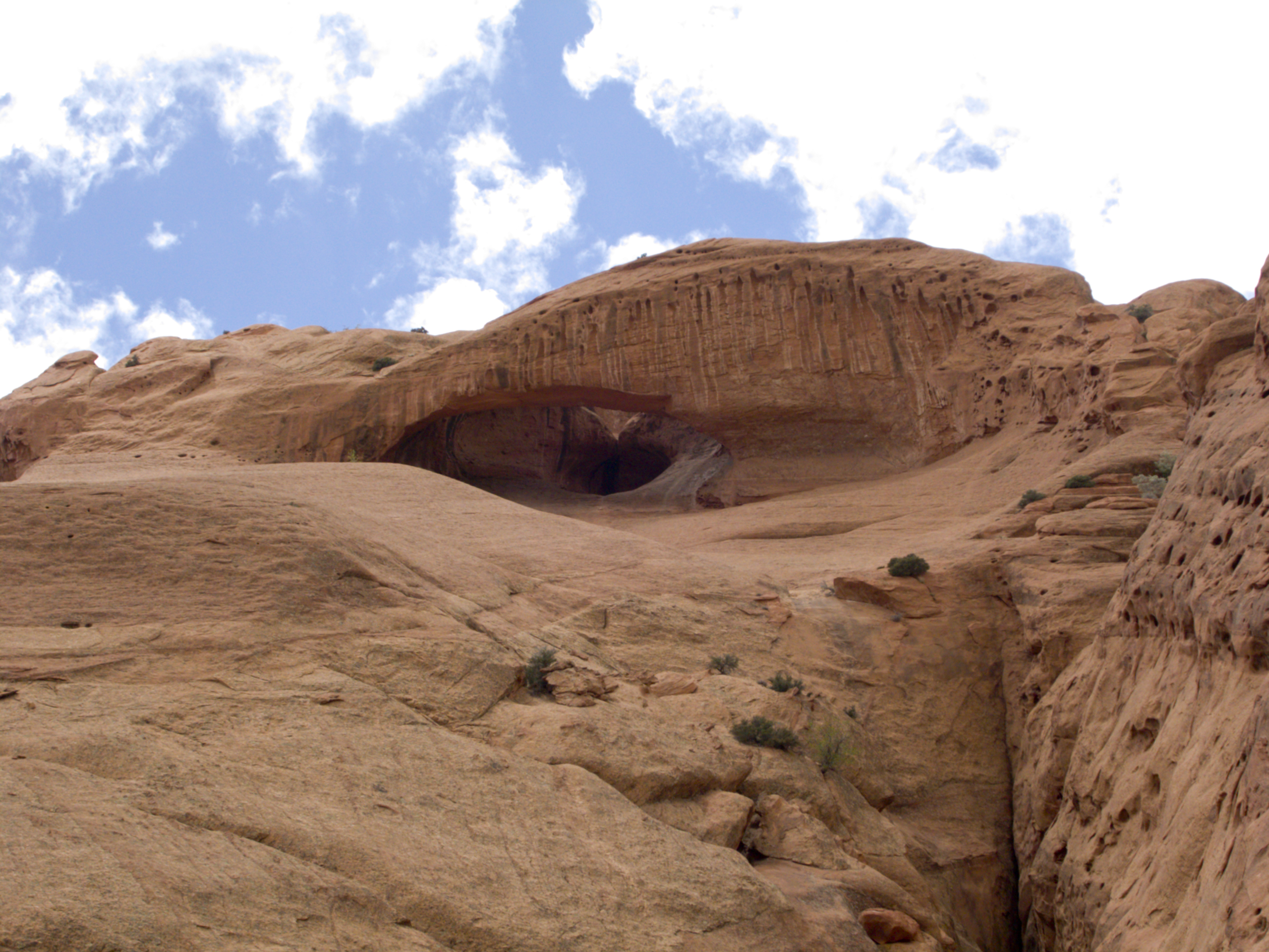
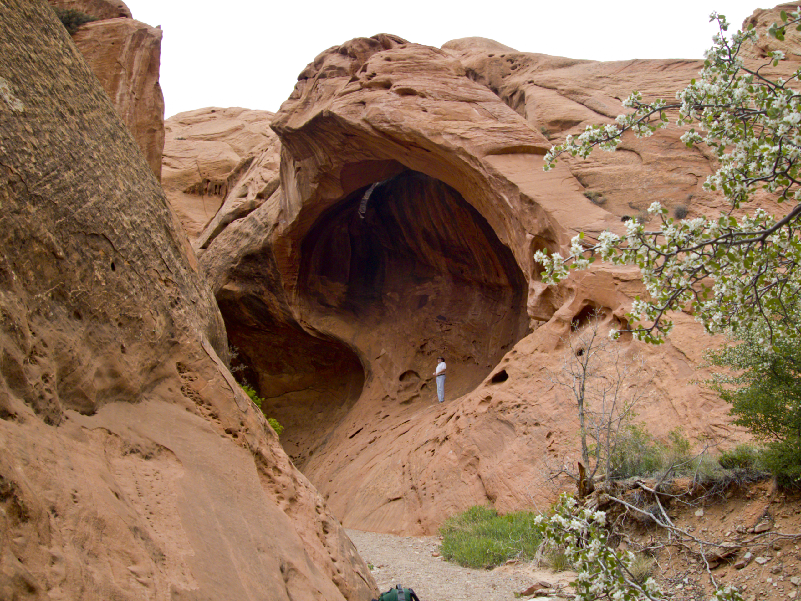
Just over a mile and a half up this side canyon we found Sam Pollock Arch and are reminded of why we came. What a great place to visit!
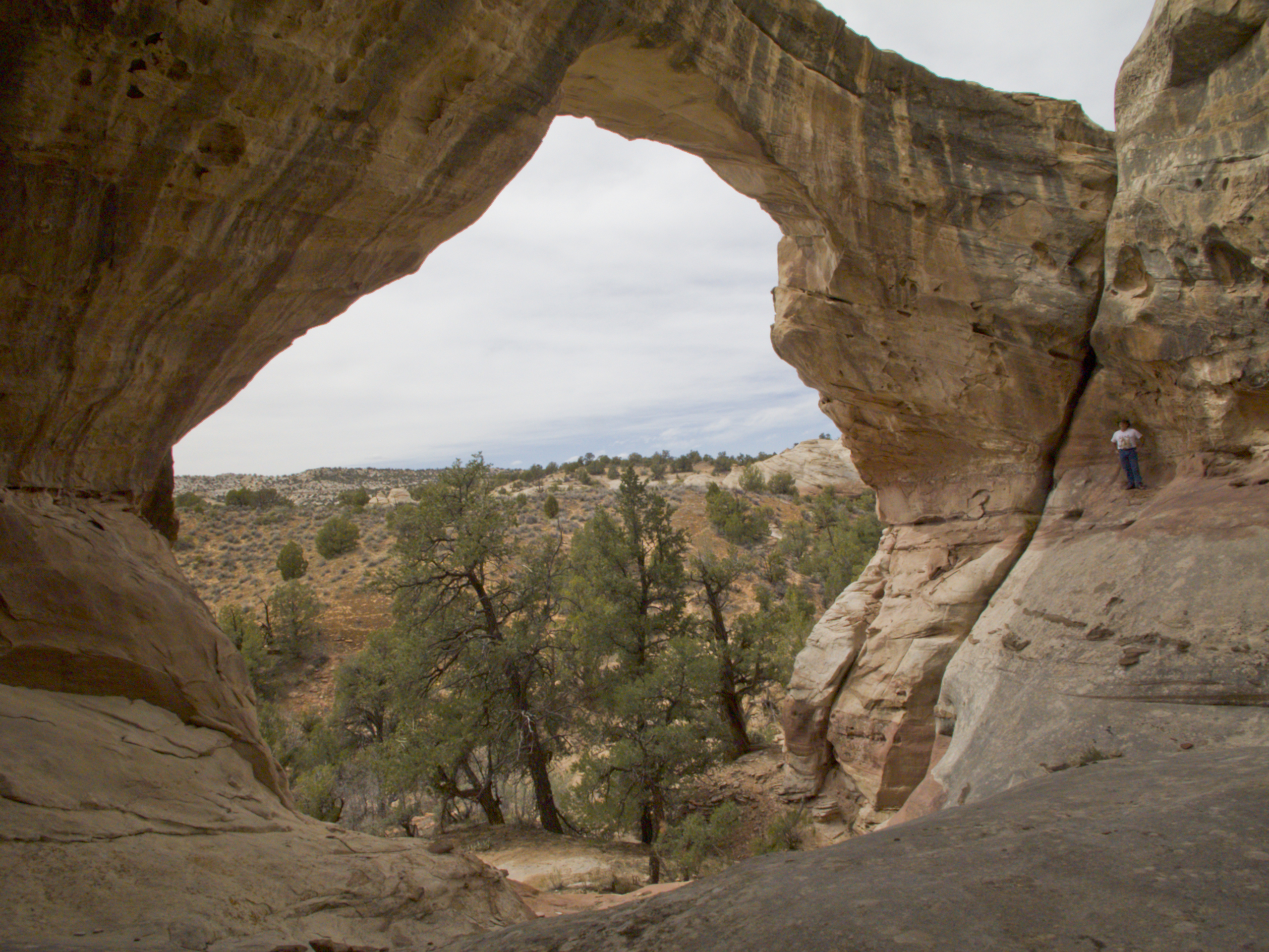

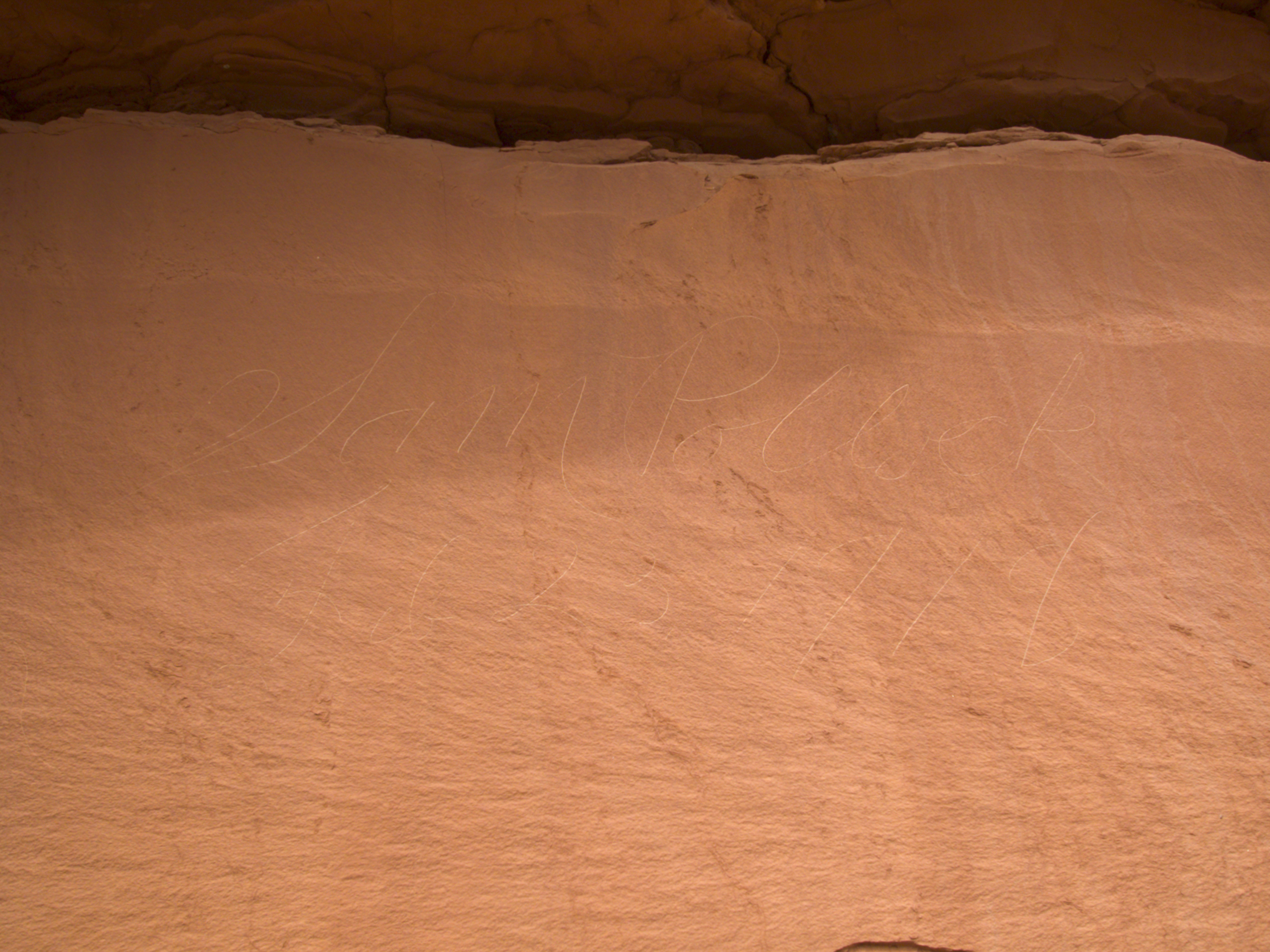
Sam Pollock Arch turned out to be a major Class A sized natural arch. On the wall was scratched Sam Pollock’s 1918 signature.
We rested at the back of the arch long enough to eat a snack and let our legs cramp up. Then it was back down the canyon and yearning for the comfort of the vehicle.
By then the wind had picked up and it was much colder. We were tired and stumbling along as best as we could as the sun went down. Not as fun as the hike in.
Typical Utah Spring weather.
We found a much needed bed at a HEATED motel room in Tropic and were feeling much better by morning.
Tropic, Utah.

Cannonville, Utah.

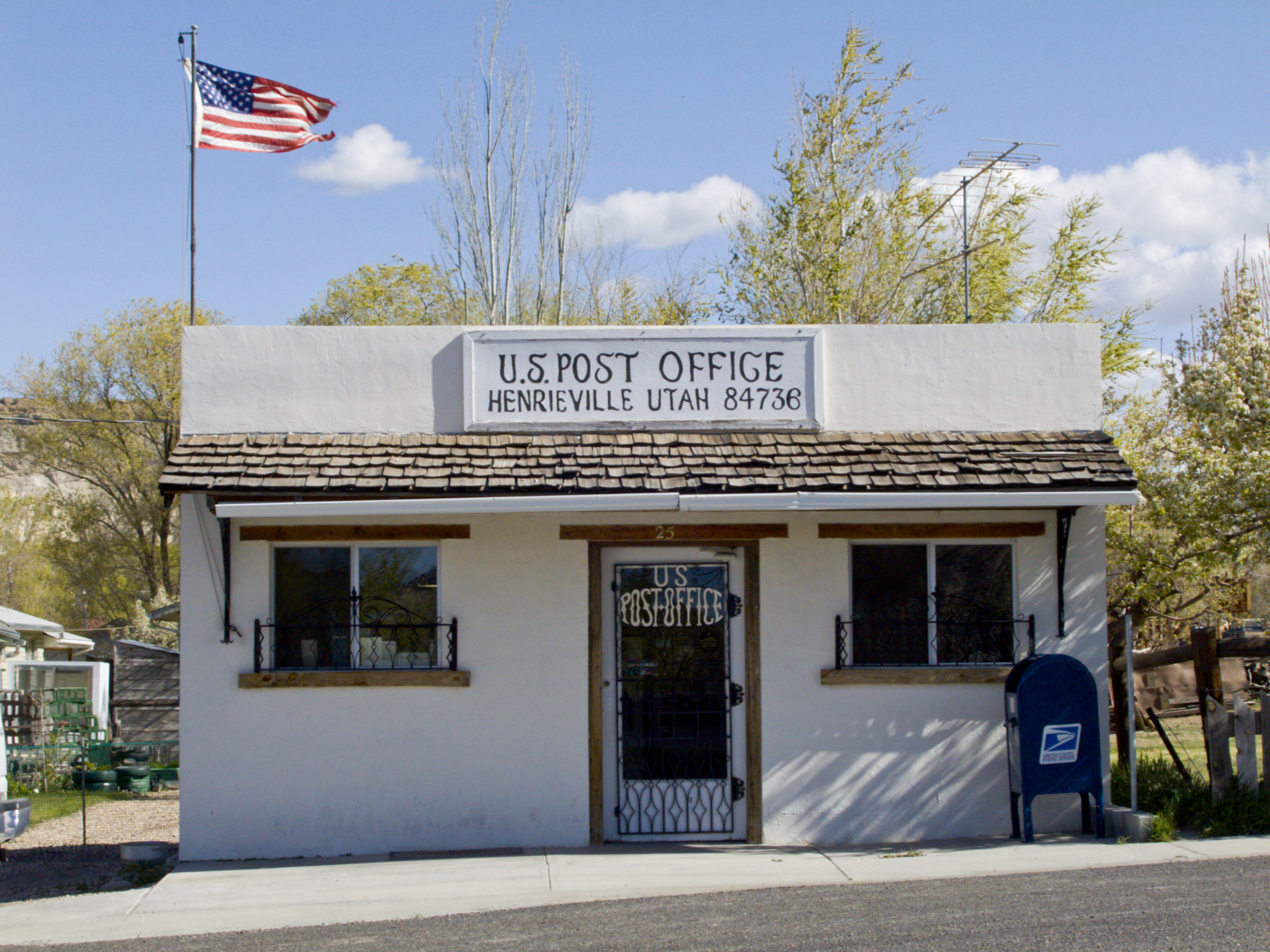
Henrieville, Utah.

We then headed east on highway 12 past the Table Cliffs.

Then on to Escalante, across the Escalante River, up the canyon past Calf Creek and then to Boulder, Utah.


From Boulder we headed east on the Burr Trail which starts out paved and reverts to a dirt road soon after leaving the Boulder area.
Soon we were in Long Canyon where we wanted to research several natural arches. We did notice one small Class D arch hanging on the south cliffs.

What we were looking for is Long Canyon Arch, a large Class B natural arch hidden at the end of a small canyon, on the south cliffs, just 2.75 mile from the bottom (beginning) of Long Canyon.
We completed the drive to the top of Long Canyon and then dropped down into the Horse Canyon drainage where we could take a south dirt road towards the Wolverine Petrified Wood Natural Area, Moody Creek and the canyon part of Horse Canyon. At this point, we weren’t looking for anything specific. We were just exploring new areas.


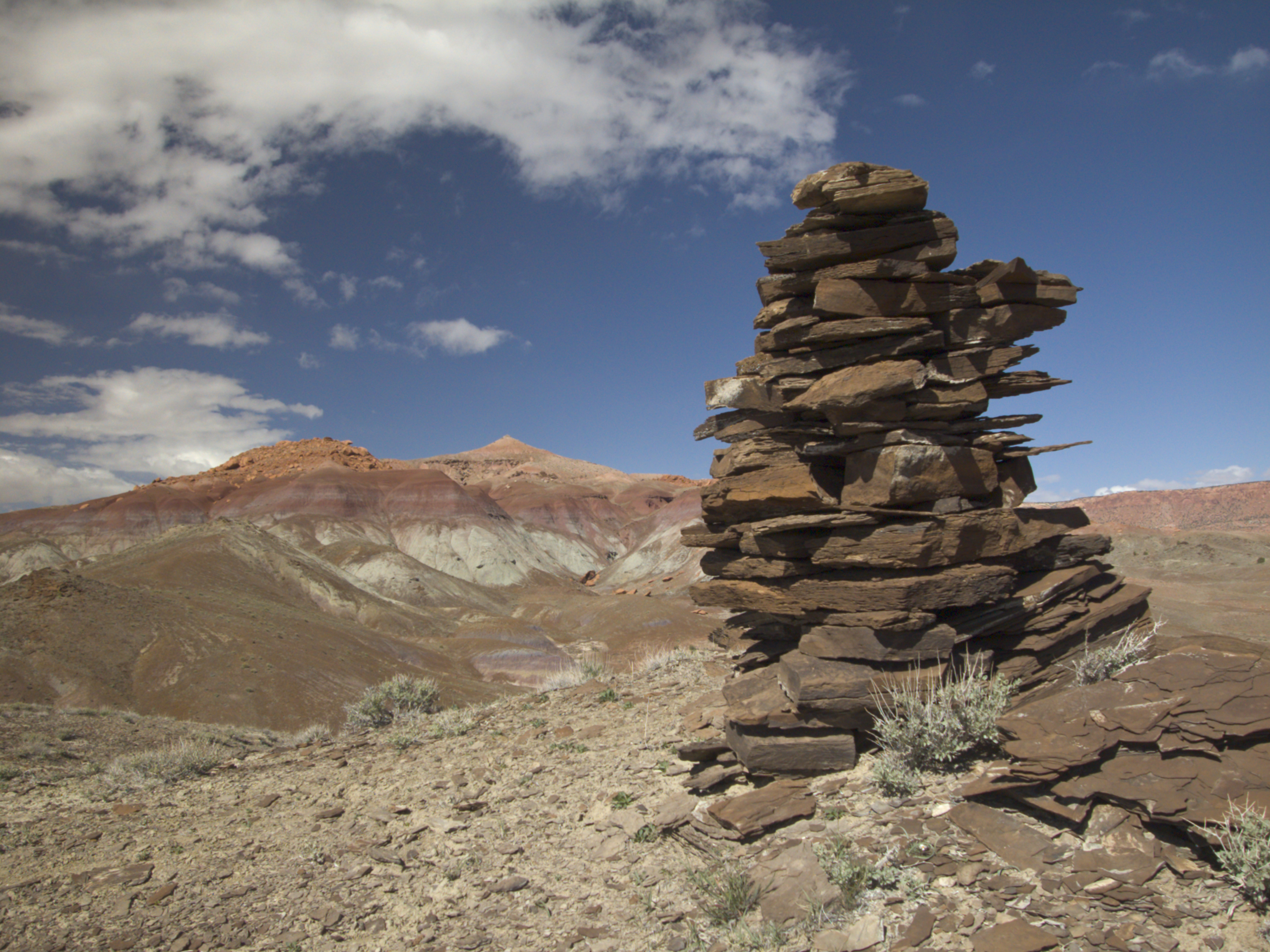
There is a lot of country that we need to take a closer look at some day.
We stayed the night in a motel in Escalante, after making sure that the room heat worked.
The next morning we headed back to Boulder and then east down the Burr Trail again.
Just before the Burr Trail descends the steep switchbacks through the Waterpocket Fold and then joins the Notom-Bullfrog road, the road crosses the Muley Twist drainage. Upper Muley Twist canyon extends northward and Lower Muley Twist heads to the south. We found the short Strike Valley Overlook dirt road that took us into the Upper Muley Twist Canyon drainage. (One mile from the switch backs.) Only the first 2.9 miles can be driven in a high clearance vehicle. Then it is necessary to hike the canyon from the Strike Valley Overlook trailhead.
This is natural arch country!
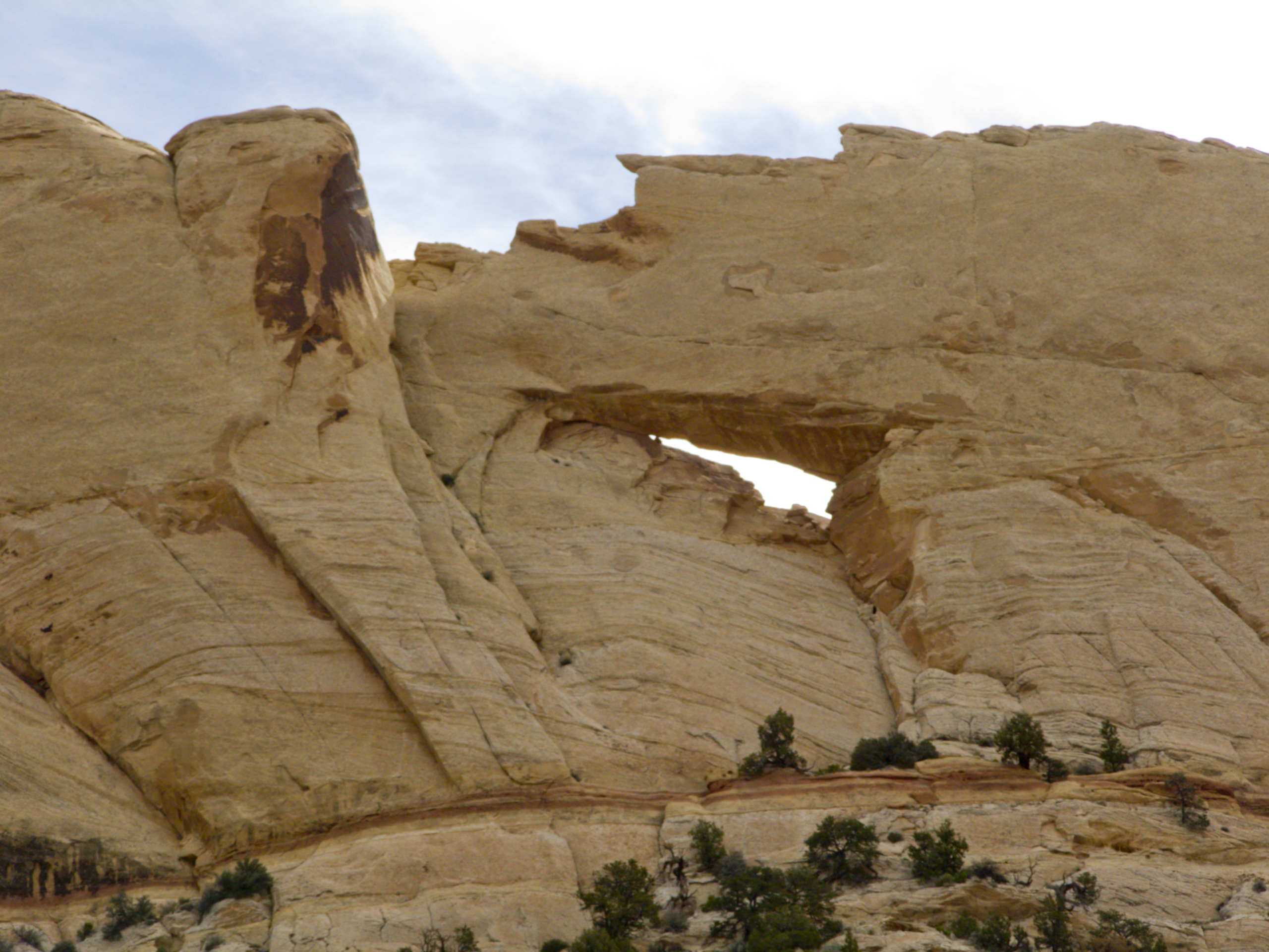
The first arch to see is a Class C sized natural arch called Peek-a-boo Arch that is clearly visible to the east as you first descend the Strike Valley Overlook road.
Once in the Upper Muley Twist Canyon, you will find that the outcrops of sandstone cliffs on the left (west side) have a number of natural arches in them. The road passes practically underneath several of the Class C arches including the first which is Trinity Triple Arch. (It is almost impossible to see all three arch structures from the canyon floor.)
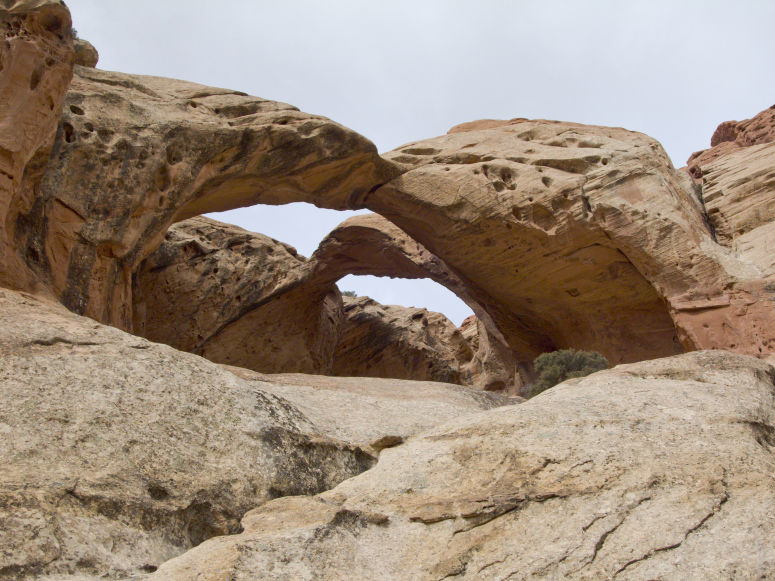
The next also a Class C arch called Cherrios Double Arch.

At one point, the road curves to the west and then back to the east to bypass a section of red sandstone on the left (east). As soon as the road straightens and heads to the north again (approximately .6 miles from the end of the road at the trailhead), there is a Class C sized arch called Reach Arch, high in the cliffs on the right (west).

Once at the trailhead, it is time to walk the drainage heading northward as the foot trail passes Muley Arch, a Class B natural arch.
And then Saddle Arch, another Class B sized arch. (I think Vulture Arch is a much better name for this arch.)

Next was Dome Double Arch, a Class C sized arch. The second part of Dome Double Arch is higher to the left of the main arch and is not viewable from the drainage.
From the Strike Valley Overlook trailhead (and end of the dirt road) it is just over 3 miles to the last natural arch that we visited. (And the last that we know of in that valley.) Cap Arch is another Class B natural arch found in the mouth of a side canyon cutting into the west cliffs.
After dragging our tired backsides back to the vehicle, we headed back to Boulder and then north over Boulder Mountain and homeward.
This was a good trip with a lot of new arches that we hadn’t visited before. Thank goodness for work so we can rest up during the week again.