


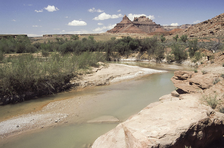
May 5th found David and I heading for the San Rafael Swell area via Buckhorn Draw. Once we reached the San Rafael River, we turned east on the Mexican Mountain road until the road ended near Mexican Mountain. Here the hiking begins.
Remanents of the dirt road follow the river drainage and lead to a dirt airplane runway just over a mile from the end of the road. I am surprised to see fish splashing around in the small river but I was never able to get a good look to see what kind of fish they were.
The bottom of Spring Canyon is near the runway and we stopped long enough to rest and take a few pictures of the petroglyphs that adorn some of the large boulders there. Here we met a group of scouts and their leaders who were also inspecting the petroglyphs.


We then headed northwest up Spring Canyon for about a mile and a half until we can get a good view of Delicate Arch in the high cliffs on the west. While the arch has an unfortunate duplicate name of the better known Delicate Arch in Arches National Park, it is an appropriate name. It won’t take much of an earth tremor to topple this natural arch.

We are aware of another natural arch located further up the canyon but that is beyond our hiking range for this day. It is Spring and we are REALLY out of shape after the winter months.
On the way back, we found this fellow which insisted on completely ignoring us.

We then headed home again, pleased at all the beauty the day had brought us.