


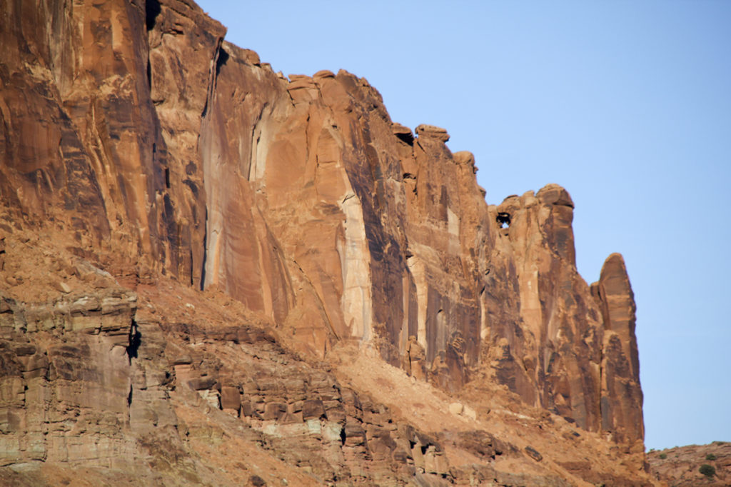
The weather continued to be unusually warm and dry so I took the opportunity to drive down to Moab Utah. From Moab, it is approximately a 12-mile drive northeast along the Colorado River to Fisher Towers. My plan was to fly my drone around the towers. However, when I arrived at the parking area and campground, it was full of vehicles. I had to park down the road a ways. I then just walked out into the sagebrush away from the road and set up my drone airport.

Fisher Towers is an awesome display of how fickled Mother Nature can be. It is unbelievable from the ground and even more so from above.
After several flights, I returned to my truck and headed back towards Moab with a quick side trip to Castle Valley. I took a few pictures and headed back to Moab.


Instead of driving into Moab, I crossed the Colorado River bridge and took Highway 191 a few miles to the Potash Road which heads south and then west through ‘The Portal’, following the Colorado River on the north bank.
Several miles down the Potash Road, I again stopped to fly my drone. This time over the sandstone fins on both sides of the river.
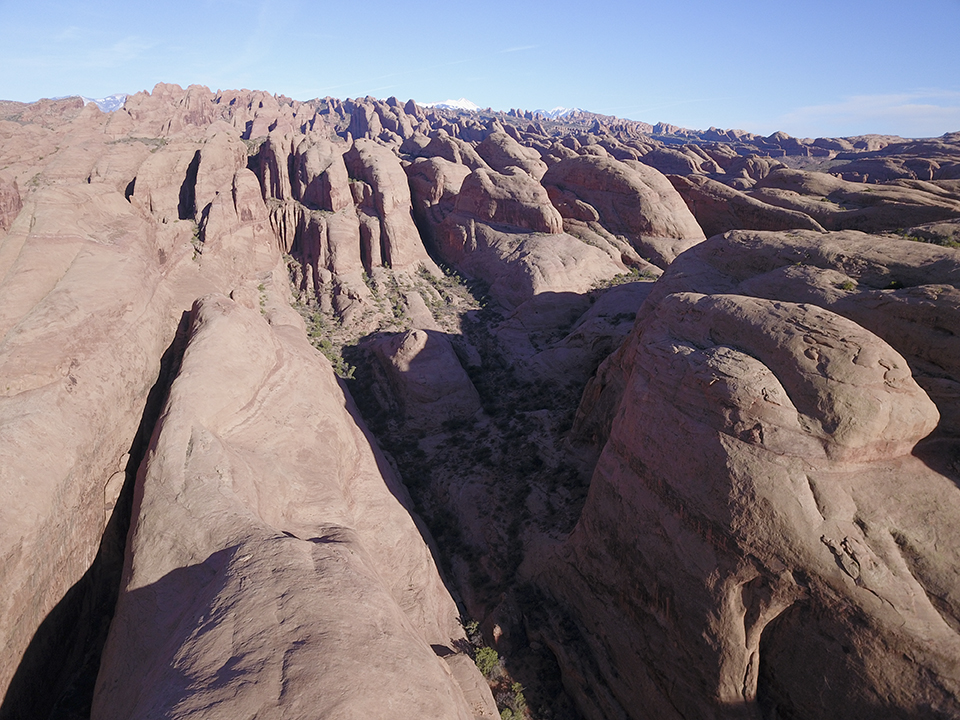
I then moved further down the road where it bends to the north. Just before it bends again to the west, I stopped at the trailhead for Corona Arch. Instead of hiking to the arch, I flew.
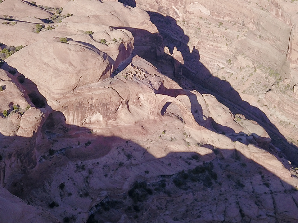
Even after a full day of travel and flying the drone, I found I still had some daylight. I continued down the Potash Road until it passed the Potash plant and the road turned to gravel. I then flew my drone one more time. This time across the Colorado River to explore the cliffs in an area that anyone rarely goes.

I think I saw a small arch up there.
Finally, the sun sunk behind the hills and it was time to go home.