The days are getting shorter and cooler so David and I decided it was time to head to southern Utah for a couple of days of exploring the canyons. We both took Friday off from our jobs (again) and drove down to Blanding Utah on Thursday night.
Inasmuch as the “tourist season” is over and kids are back in school, it is surprising how busy it is in the towns such as Moab, Monticello and Blanding. When the weather cools off, this is the time of year that a lot of people (usually with no children) flock to this area so it was a little tricky getting a room even in Blanding Utah on a Thursday night. We had to reserve a room for Friday night before leaving town the next morning, just to make sure we had a room when we got back to town. This also makes for unusually high prices for rooms for this time of year.
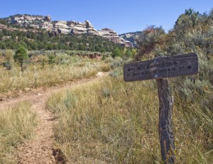
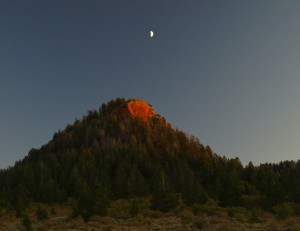
Friday morning we headed west from Blanding towards Natural Bridges National Monument. Just after turning off the main highway heading to the park, we took a gravel road up and through two peaks called “Bears Ears”. Several more miles down the surprisingly good gravel road, we turned off for the trailhead for Peavine Canyon. Here we unloaded the ATVs and headed down the dugway into the head of Peavine Canyon.
(The last time we took the ATVs out, the back brake seized up on the yellow ATV that I usually drive. We had spent several evenings this last week taking the wheel and brake apart to fix this issue. The back brake now worked VERY well!)
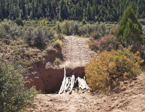
About 1.7 miles down the dugway, we found a pine tree had fallen on the road. While several previous trail riders had just driven over and through it, we stopped to pull the tree off the road and remove the debris on the road.
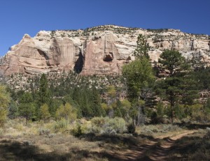
Once on the bottom of the canyon, it was a pleasant and cool drive through the trees. Then at about 7.5 miles, the road got tricky as we encountered recent flooding damage for about a half mile. We had to rework several places in the trail and ended up just driving down the dry creek bed in another. From that point on, there were no recent tracks on the trail since last weeks rain storms.
Once we hit Dark Canyon, we turned right and rode the trail towards the old Scrope log cabin but you can only drive about .8 miles to the corals where the road ends.
It is then another 1.5 mile hike to visit the cabin… which we decided not to do.
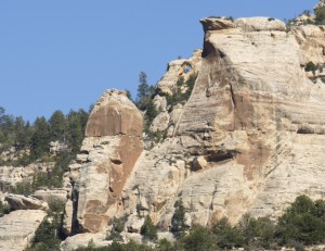
Back to the mouth of Peavine Canyon, we continued riding west in Dark Canyon for 1.3 miles to some more corals at the mouth of Rig Canyon. Along the way, we found and photographed Deadman Point Arch, a class ‘C’ arch hanging high in the north cliffs.
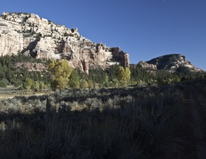
We then drove up Rig Canyon to where the old oil rig had been. Here we stopped to eat peanut and jam sandwiches and enjoy the peace of the canyon.
After riding back down Rig Canyon, we parked at the corals and hiked down Dark Canyon to Poison Canyon. We then hiked up Poison Canyon until we found a small class ‘D’ natural arch in a rock formation to the northeast. Total hike: 3.25 miles.
We decided it was time to head back so we rode back up Dark Canyon to the mouth of Peavine Canyon.
We then drove up Peavine and up the dugway to the top of the canyon. We loaded up the ATVs and headed back to the Bears Ears, watching quite a number of mule deer along the way.
It was dark by the time we were back on the highway heading for Blanding again.
Day One was an enjoyable success! ATV mileage for the day: 24.6 miles.

